
eBird サイエンス
eBirdは、世界中のバードウォッチャーの鳥への情熱を、研究、保護、教育のための強力な資源に変えます。
eBirdステータスとトレンド
高解像度のデータ、可視化、ツールにより、鳥類の個体群がどこに存在し、時間の経過とともにどのように変化していくかを説明しています。これはeBirdのデータを利用しており、毎年更新され、最高の科学情報を提供しています。
eBirdのデータやツールを利用する
eBirdは幅広い科学的な疑問に対応する、強力な情報資源です。eBirdのデータやツールにアクセスし、分析し、引用する方法をご紹介します。

調査研究と保全活動への応用
eBirdは科学と保全分野においてますます重要な役割を果たしています。eBirdデータの活用は、調査研究やモニタリング、種の管理、生息地の保護、法律や政策への情報提供など多岐にわたります。
最新のサイエンス・ニュース

eBird in Action: North American Bird Declines are Greatest Where Species are Most Abundant
Your eBirding data helps create tools that can be used to further conservation, inspire support, and inform ecological management strategies. eBird in Action is a segment which shares the conservation stories made possible because of your contributions.

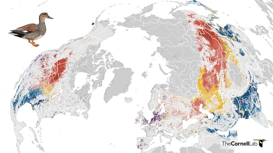
New Data and Tools for eBird Status and Trends
eBird Status and Trends products are updated annually with millions of new observations submitted by eBirders to provide the most up-to-date information on the status and trends of bird populations. This year, the team released new tools, added regional trends summaries, and made Trends data available for download.

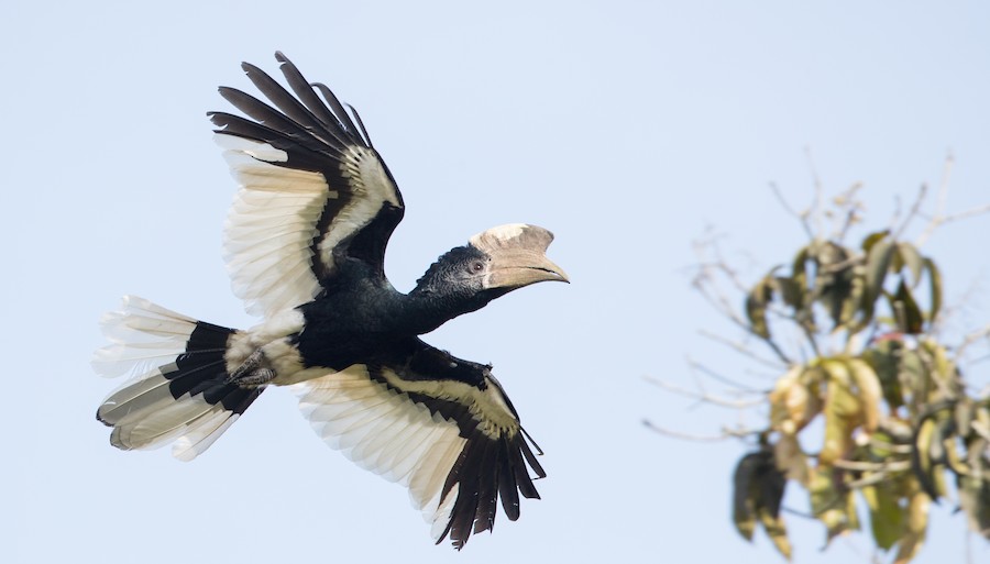
Updated abundance and range maps for 2,068 species
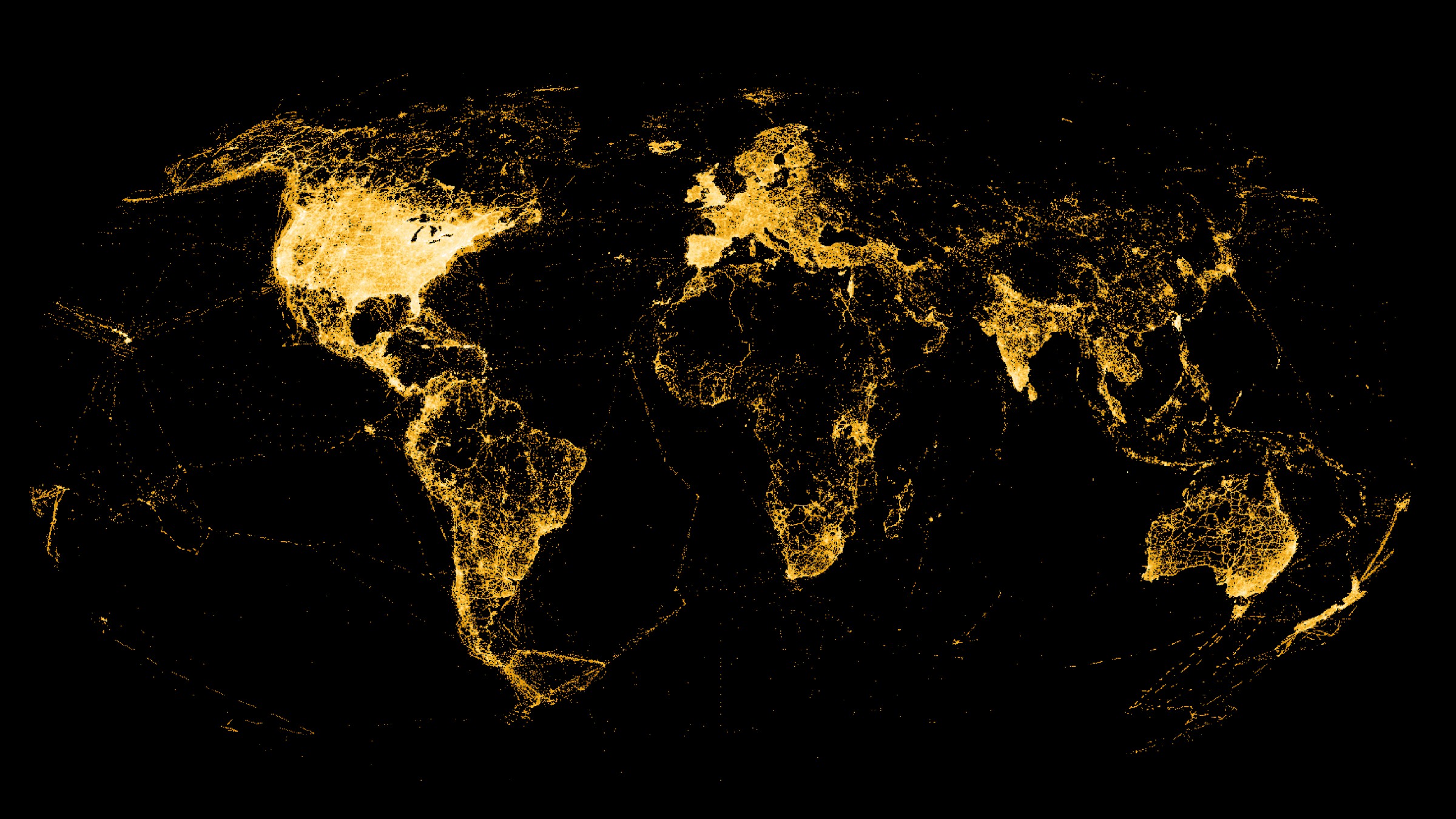
Every year the eBird Status and Trends project updates the maps with millions of new observations submitted by eBirders. This year, the team modeled relative abundance for 868 additional species across the globe using data from 464,542 eBirders—bringing the total number of species with visualizations to 2,068.