Banaketa-mapa
Cornell Lab Powered by eBird

Banaketa

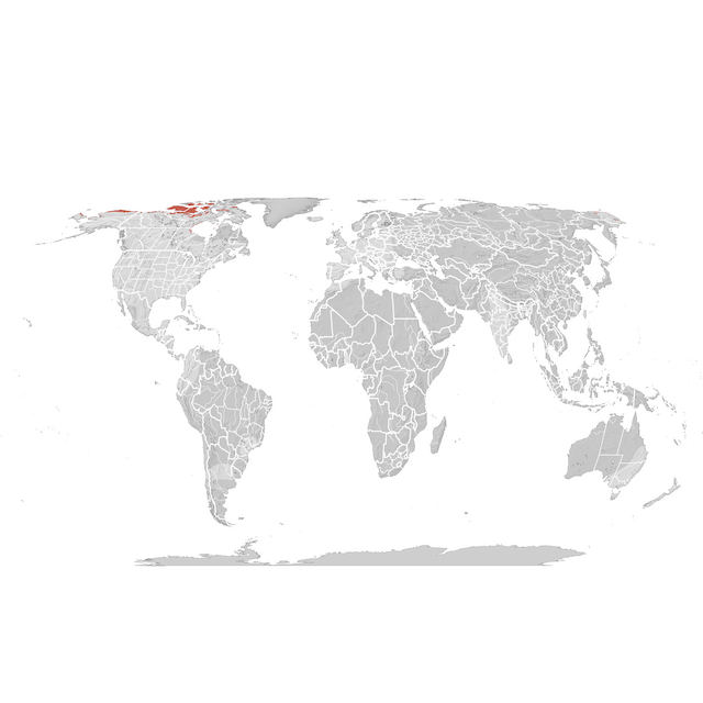
The range map depicts the boundary of the species' range, defined as the areas where the species is estimated to occur within at least one week within each season.

Gehiago ikasi
Ugalketa sasoia
14 Jun - 21 Jun
Ugalketa sasoitik kanpo
29 Nov - 8 Feb
Ugalketa aurreko migrazio sasoia
15 Feb - 7 Jun
Ugalketa osteko migrazio sasoia
28 Jun - 22 Nov
Layer Opacity
Urtaroak
JFMAMJJASOND

Lurralde mailako estatistikak

Basemap

Modelizatutako eremua
(0 ugaritasuna)
Iragarpenik ez

eBird Data from 2008-2022. Estimated for 2022.

Fink, D., T. Auer, A. Johnston, M. Strimas-Mackey, S. Ligocki, O. Robinson, W. Hochachka, L. Jaromczyk, C. Crowley, K. Dunham, A. Stillman, I. Davies, A. Rodewald, V. Ruiz-Gutierrez, C. Wood. 2023. eBird Status and Trends, Data Version: 2022; Released: 2023. Cornell Lab of Ornithology, Ithaca, New York. https://doi.org/10.2173/ebirdst.2022